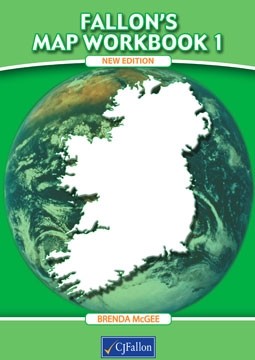
Fallons Map Workbook 1 New Edition
This revised and updated Map Workbook is intended for use in fifth class/ the workbook introduces basic plans and how to use them. It illustrates the important physical features of Ireland on a series of easy-to-follow maps and accurately pinpoints towns/cities/countlies and provinces. Exercises are included on topics such as rainfall/ fishing/ agriculture/air and ferry ports etc. Map assignments and factual information on Britiain are also included.
| SKU | 9780714416175 |
| Publisher | C J Fallon Ltd |
| Condition | New |

