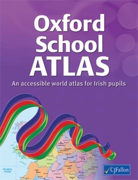
Oxford School Atlas
A new atlas for children in Irish Primary Schools with up-to-date mapping of Ireland, Europe and the world. It includes a specially-commissioned eighteen page section devoted to maps of Ireland, presented in Irish and English on opposite pages: - Counties and Towns. - Provinces - Mountains, rivers and lakes. - Islands, inlets, bays and headlands. - Composite physical features. - Ordnance Survey maps. (urban and rural). Other features include: Individual maps of England, Wales, Scotland, European Union, Europe, Spain and Portugal, France and Italy. Separate political and physical maps of all continents. Individual maps of Canada and the USA. Separate sections on atlas literacy and atlas numeracy Indexes of place names, up-to-date country statistics and flags of the world.
| SKU | 9780714419022 |
| Publisher | C J Fallon Ltd |
| Condition | New |

